Great Tibet Tour Logo GREAT TIBET TOUR ®

Ngari Map

  • by Apple
  • Last Updated: 2023-02-08

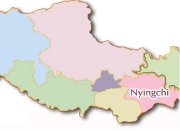
Ngari is located in the west of the Tibet Autonomous Region of China, the northern part of the Qinghai-Tibet Platea and the core part of ​​the Qiangtang Plateau. Ngari is where mountains meet such as the Himalayas and Gangdise, so it's being called the "father of ten thousand mountains". At the same time, it is also the birthplace of the Yarlung Zangbo River, the Indus River, and the Ganges, so it is also called "the source of the hundred rivers." Every year, lots of tourists visit Ngari for Holy Lake Manasarovar, Sacred Mountain Kailash, mysterious Guge Kingdom, the ancient Tholing Monastery, and the unique landscape of Zanda Clay Forest.

Ngari map

Related Articles

  • How to Get to Ngari?
    Ngari is a remote region in western Tibet. There're two ways to get to Ngari, by flight or by road. Driving to Ngari can lower of risk of altitude sickness.

  • The Best of Ngari You Can Experience
    May to October every year is a very suitable time to travel to Ngari, especially from mid-June to mid-September, with higher oxygen content and humid climate.

  • The Fact of Ngari - the Most “Tibetan” Part of Tibet
    Located in the west of Tibet, Ngari is known for its desolate off-the-beaten-path landscape. Let’s unveil this mysterious prefecture of Tibet.

  • Things to Know Before Traveling to Ngari
    Ngari is the most mysterious place in Tibet. The climate here is worse than in other parts of Tibet. It's recommended to visit Ngari from May to October.

Ask a Quick Question Below?
or Email Us