Tibet Attractions
Located in the southwest of the Tibetan Plateau, the Tibet Autonomous Region is a shining jewel of the Earth. Here, you’ll witness devout pilgrims chanting scriptures, spinning prayer wheels, and prostrating along the roads—day after day, year after year. Their deep spiritual devotion is woven into the breathtaking landscape, giving Tibet an air of mystery that continues to captivate the world. Many travelers dream of experiencing it, understanding it, and uncovering its timeless beauty.
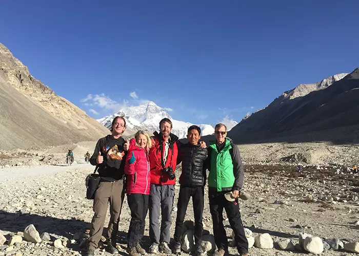
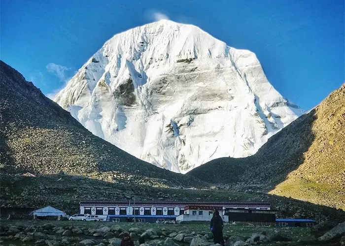
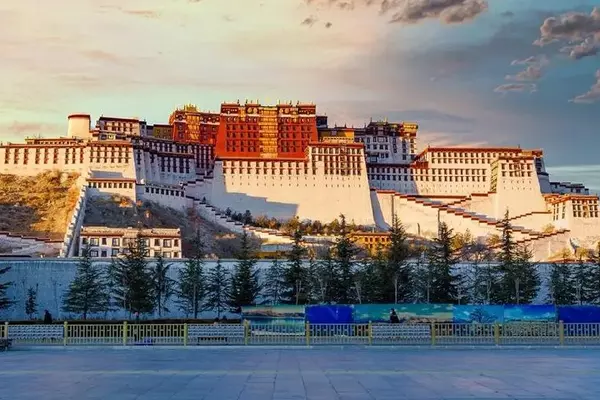
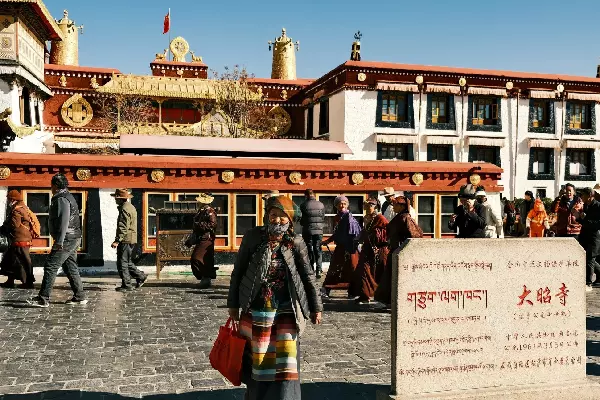
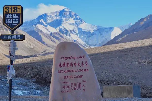
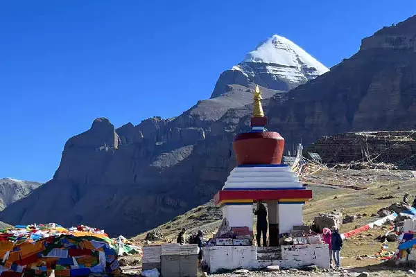
The top attractions listed below are must-sees for any first-time visitor to Tibet, including the iconic Potala Palace, the revered Jokhang Temple, the vibrant Barkhor Street, the highest mountain in the world - Everest, and the sacred Mount Kailash. For many, Tibet is a once-in-a-lifetime destination—irreplaceable and unforgettable. When you visit, don’t just rush through the sights. Take time to learn the stories behind them. Your journey through Tibet can be more than a tour—it can be a journey of the soul. In your free time, immerse yourself in local life: learn a few Tibetan phrases, stroll through age-old alleyways, sample traditional food, or sip butter tea with locals. You’ll gain more than memories—you’ll gain a deeper connection.
This page highlights the top places to visit and things to do in Tibet to help you plan your perfect trip.
Top-Rated Tourist Attractions in Tibet
Tibet Attractions by Category: Natural, Monastery, History...
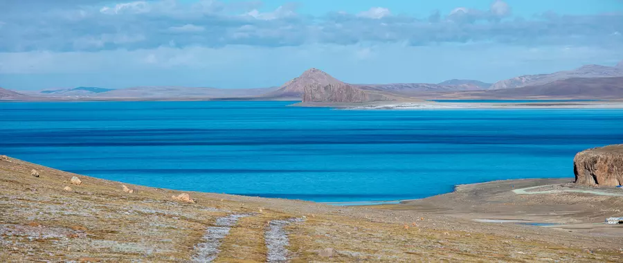
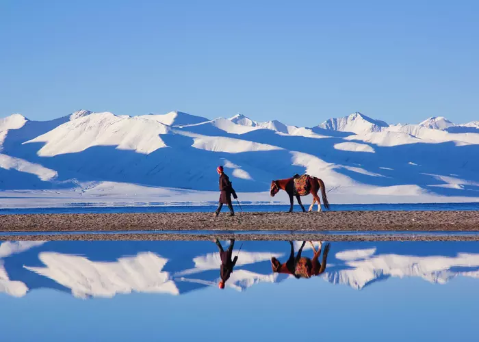
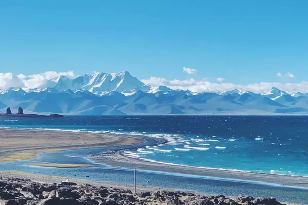
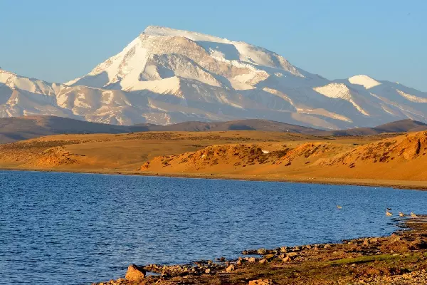
Natural Sights
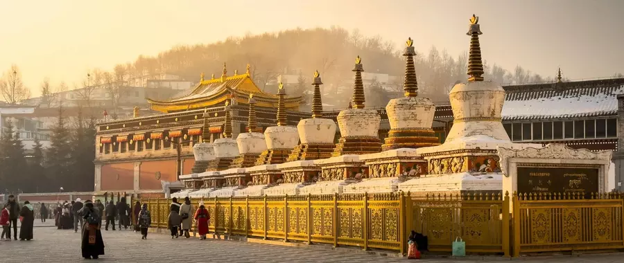
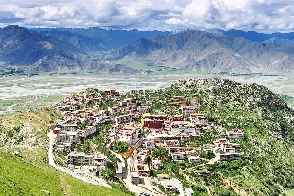
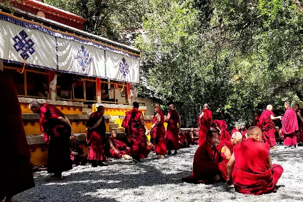
Buddhism Monasteries
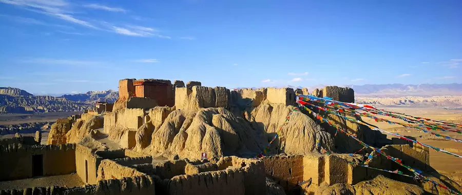
Tibet History